Any single map can lag behind what you smell on the sidewalk. A wildfire burning in Quebec or Ontario can push smoke over all five boroughs, and every tool that tracks it sees only part of the story. Satellites watch the smoke from above, while ground monitors measure the air you actually breathe and low-cost sensors fill in the blocks between them. Once you know which piece each map shows, a hazy afternoon turns into a clear call about your windows and the air inside your home.
TL;DR Quick Answers
live wildfire smoke map NYC today
For a live wildfire smoke map of NYC today, open the AirNow Fire and Smoke Map and zoom to your borough. It shows active fires, satellite smoke plumes and PM2.5 readings from official monitors and EPA-corrected sensors in one view. Then check for a New York State Air Quality Health Advisory.
Read the right layer: Smoke plumes show smoke overhead, while the colored icons show the air you actually breathe.
Mind the lag: NOAA analysts post smoke outlines late morning and early evening, so plumes can trail conditions by hours.
Skip the dial during smoke: The standard AirNow dial can show ozone instead of smoke when no fine-particle monitor sits nearby.
Get alerts sent to you: Sign up for Notify NYC, and watch for state advisories whenever the forecast AQI tops 100.
Trust your nose: When you smell smoke indoors and the map still reads green, close up first.
Top Takeaways
Pair your sources: Check a live smoke map against an official state or city alert.
Know what each layer measures: Satellites see smoke overhead, while monitors and sensors read the air you breathe.
Watch the clock: Satellite smoke outlines run hours behind.
Use corrected sensor data: Read neighborhood sensors through the EPA conversion or the Fire and Smoke Map.
Close the hidden gaps: Sealed ducts and a covered filter slot keep more smoke out once the map turns orange.
Why Do Two Smoke Maps Show Different Answers for the Same Block?
Two maps disagree because they measure different things at different times. A satellite smoke layer shows smoke anywhere in the column of air above you, from street level up to thousands of feet. An AQI reading shows what a monitor picks up near the ground. So smoke can drift overhead and turn the sky orange while street-level air stays moderate, then mix down by afternoon. Checking a live wildfire smoke map NYC today helps you compare both readings and understand how smoke conditions change throughout the day.
Here's something that might surprise you. NOAA analysts draw the smoke plumes on most fire maps by hand, working from daytime satellite imagery. Their first smoke analysis usually posts between 11 a.m. and noon Eastern, with a second between 7 and 8 p.m., and their review adds one to three more hours of delay. The plume you check at dinner may describe the sky at lunch.
Which Live Wildfire Smoke Map Data Can You Trust in NYC Today?
Each data layer answers a different question. Here's how I sort them.
Regulatory Monitors and the AQI Dial
Permanent monitors follow strict EPA methods, so they give you the most accurate readings available. The standard AirNow dial is another matter. Local agencies choose which monitors feed it, and when no fine-particle monitor sits nearby, or another pollutant reads higher, the dial can show ozone instead of smoke. EPA steers people to the AirNow Fire and Smoke Map during smoke events for exactly that reason, since it pulls permanent monitors, temporary smoke monitors, and corrected sensor data onto one screen. Knowing what the air quality index means for your area helps you interpret these readings and make informed decisions during wildfire smoke events.
Satellite Smoke Plumes
Nothing beats a satellite layer for answering "Is smoke headed my way?" It shows which way a plume is drifting and rates its density as light, medium, or heavy. That rating covers the whole column of air, though. It can't tell you whether a run through Prospect Park is safe right now.
Low-Cost Sensors and the EPA Correction
Neighborhood sensors like PurpleAir come closest to a block-by-block reading, and they update fast. Their raw numbers run high in smoke. EPA built a nationwide correction to fix that, and the Fire and Smoke Map applies it for you. On the PurpleAir map itself, switch the conversion setting to US EPA. Also watch for a lone sensor reading far below its neighbors, because it may be sitting indoors or carry the wrong label. When smoke levels rise, MERV 13 filters help capture fine airborne particles and improve indoor air quality.
A 60-Second Routine for Checking Smoke Near You
Whenever the skyline looks hazy, this is the order I'd follow.
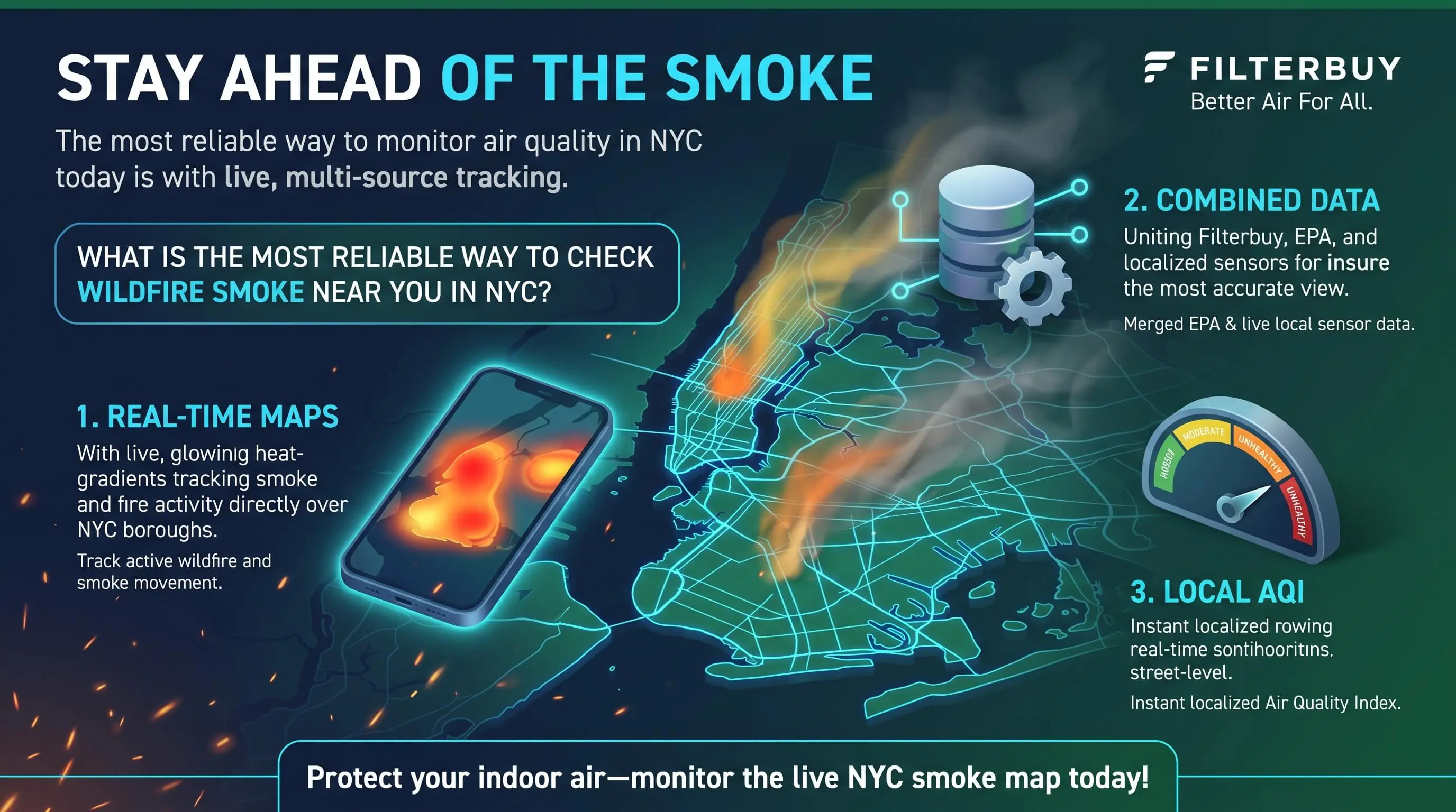
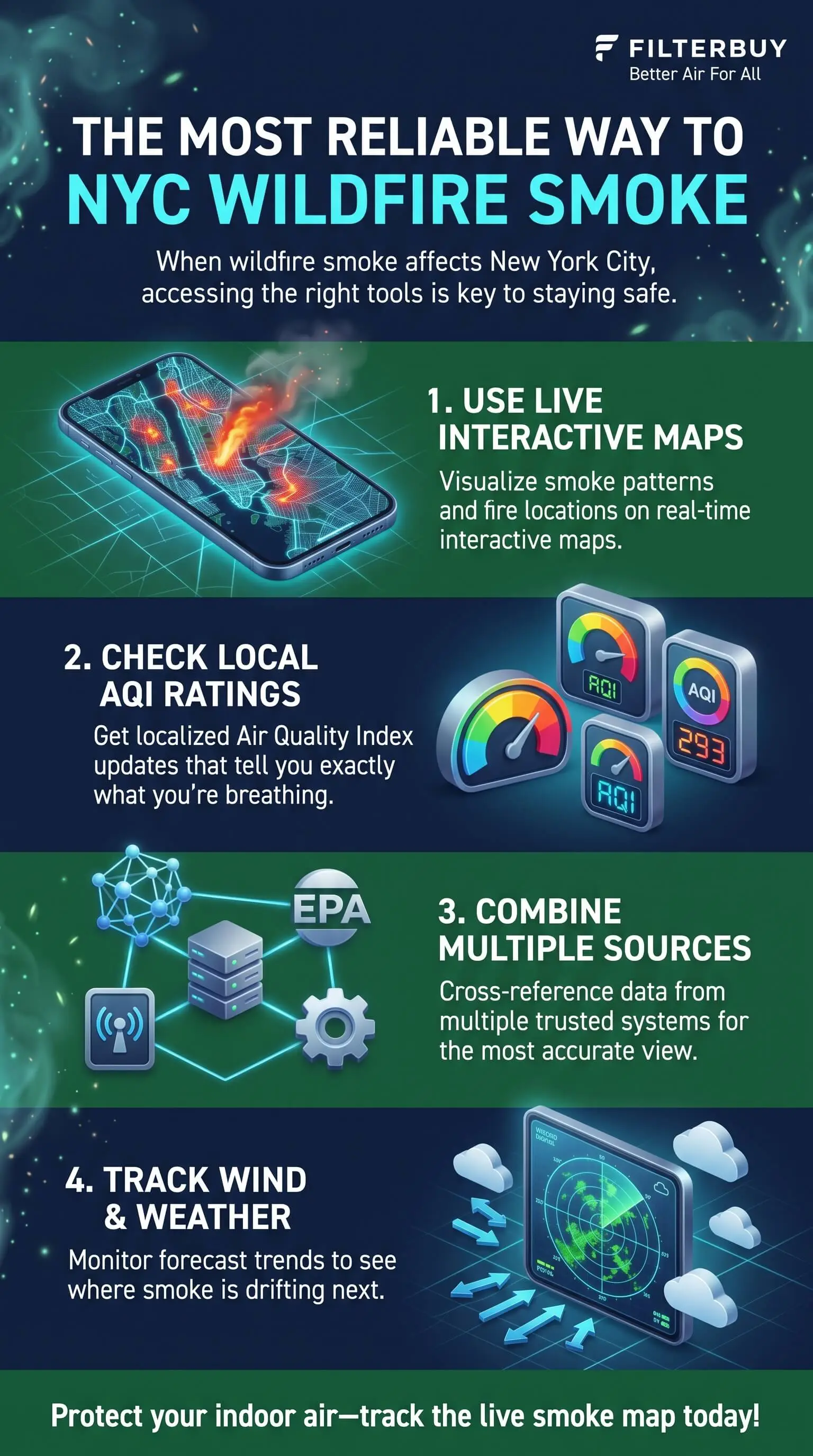
Open a live map built for the city. The New York City map listed first in the resources below puts active fires, drifting smoke, and borough-level AQI on one screen.
Confirm on the AirNow Fire and Smoke Map. Zoom to your neighborhood and read the fine-particle icon closest to you instead of the citywide dial.
Check for a state advisory. Look for a New York State Air Quality Health Advisory covering the NYC Metro region.
Compare a corrected sensor or two near your block. When nearby sensors climb while the official monitor lags, trust the trend and act early.
Pro Tip: When you can smell smoke indoors and the map still reads green, believe your nose and close up first. The map will catch up.
How Do NYC Alerts Fill the Gaps Maps Leave?
A map helps only when you remember to open it. Alerts come to you, so they catch what you'd otherwise miss.
Notify NYC: The city used it to warn residents throughout the 2023 smoke events. You can sign up by calling 311, on the Notify NYC website, or in the app.
NYS DEC Air Quality Health Advisories: The state DEC and Department of Health issue one whenever they forecast an AQI above 100, the level where sensitive groups should take precautions.
National Weather Service, Upton office: Forecasters there cover the city, Long Island, and the lower Hudson Valley, and they post air quality alerts for the region.
When the Map Says Smoke Is Here, Your Ducts Decide How Much Gets In
Almost everyone closes the windows first. In a home with forced-air heating and cooling, the next weak spot usually hides somewhere you rarely look, like the basement or attic. ENERGY STAR estimates that leaks, holes, and poorly connected ducts lose 20 to 30 percent of the air moving through a typical duct system.
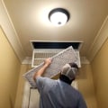
During a smoke event, those leaks work against you twice. A gap around the filter slot lets air slip past the filter without touching it. Leaky returns running through unconditioned spaces can also pull in air you never meant to circulate. Sealing accessible joints with mastic or metal tape closes both paths, and ENERGY STAR warns that ordinary duct tape doesn't last.
Plenty of New Yorkers have no ducts at all. In a radiator building with window or through-wall air conditioners, set each unit to recirculate, close its fresh-air vent, and run a portable HEPA cleaner in the room you use most. The live NYC map page also spells out what to do at each AQI level, so you can match your response to the reading. For homes with a central HVAC system, a pleated furnace filter with an appropriate MERV rating helps capture fine airborne particles during wildfire smoke events.
"In my experience, the homes that still smell like smoke two days after the haze clears almost always have an open filter slot or a loose return joint in the basement. A filter only cleans the air that passes through it, so I seal the slot and the return connections before I recommend any equipment upgrade."
7 Essential Resources
Live Wildfire and Smoke Map for New York City puts active fires, satellite smoke, and live borough AQI in one view, with indoor protection steps for every AQI level.
AirNow: Using AirNow During Wildfires explains why the standard dial and the Fire and Smoke Map can disagree, and which one to open during smoke.
NOAA Hazard Mapping System Fire and Smoke Product shows the analyst-drawn smoke plumes and when each daily analysis posts.
EPA Air Sensor Toolbox explains how EPA tests and corrects low-cost sensors.
NYS DEC Air Quality Index Forecast and Current Observations posts daily forecasts and health advisories for the NYC Metro region.
National Weather Service New York (Upton) is the forecast office for the five boroughs, Long Island, and the lower Hudson Valley.
ENERGY STAR Duct Sealing lists the warning signs of leaky ducts and walks you through sealing them yourself.
Live wildfire smoke maps, AirNow, NOAA, and local air quality forecasts help New Yorkers track smoke conditions and health risks. Along with sealing leaky ducts, high quality filters help capture fine airborne particles and maintain cleaner indoor air during wildfire smoke events.
3 Statistics
AQI 484: New York City's Air Quality Index hit 484 at 5 p.m. on June 7, 2023, deep in the hazardous range. Source: NYC Mayor's Office briefing transcript
17 percent: Asthma-related emergency visits ran 17 percent above expected across 19 smoke days in 2023. The New York and New Jersey region saw the largest jump, with 364 excess visits from June 6 to 8. Source: CDC Morbidity and Mortality Weekly Report
About 40 percent: Raw PurpleAir data overestimate fine particles by about 40 percent in most of the U.S., and EPA's correction cuts the typical error from about 8 to about 3 micrograms per cubic meter. Source: Atmospheric Measurement Techniques
Final Thoughts and Opinion
I don't trust any single smoke map completely, and I'd be cautious about an app that asks you to. The satellite tells the truth about direction. The monitor gets accuracy right, while the sensor wins on speed. What you can rely on is the habit of reading them together.
I'd also argue that most New Yorkers watch the sky and forget the house. The map tells you smoke has arrived. How much of it reaches your living room depends on closed windows, sealed ducts, and a filter that every bit of air actually passes through. Using MERV 11 pleated furnace air filters in a compatible HVAC system helps capture airborne particles and reduce smoke-related pollution indoors.
Frequently Asked Questions
Why does the smoke map show smoke when the AQI looks fine?
The smoke is probably sitting high in the atmosphere. Satellite layers pick up smoke anywhere in the air column, while AQI readings come from monitors near the ground. Smoke aloft can turn the sky orange without changing what you breathe, at least until it mixes down later in the day.
Is PurpleAir accurate during wildfire smoke?
Not in its raw form. Raw readings run about 40 percent high in most of the country, and EPA's correction brings them close to official monitors. The AirNow Fire and Smoke Map applies that correction automatically, or you can switch the PurpleAir map's conversion setting to US EPA.
How often does the AirNow Fire and Smoke Map update?
Monitor and sensor readings refresh often. The satellite smoke layer runs on NOAA's schedule, with analyses posting late morning and early evening, so plume outlines can trail what's happening outside by several hours.
Does wildfire smoke matter in an NYC apartment without central air?
Yes. Smoke gets in through windows, gaps, and through-wall air conditioners. Keep the windows shut, set any AC unit to recirculate with its fresh-air vent closed, and run a portable HEPA cleaner in the room where you spend the most time. If you're considering air ionizer installation, check that the device does not produce ozone, which can worsen indoor air quality.
How do I get wildfire smoke alerts in NYC?
Sign up for Notify NYC by calling 311, visiting the Notify NYC website, or downloading the app. New York State also issues an Air Quality Health Advisory whenever it forecasts an AQI above 100.
Check Smoke Near You With Confidence
You're the one who keeps watch over the air in your household, and the most reliable smoke check in NYC takes about a minute once you pair a live map with an official alert and know where your home lets smoke in. Bookmark your sources and sign up for alerts this week, so the next time the skyline starts to fade, you'll already know what the air around your block is doing. Pairing these precautions with effective air filtration helps keep indoor smoke particles under control when outdoor air quality worsens.